For most things, the Census and American Community Survey (ACS) only offer data at the aggregate level: by census block group or city, for example. You can view how many people in a city live under the poverty level or what percentage of people in a tract own their homes, but you have to use their prepopulated table formats available on data.census.gov.
If you’re willing to forego analyzing at small geographic levels, though, the ACS gives you more freedom with microdata: raw sample data at the person level. You can view what time people leave for work and how they get there. You can also view variables that the Census doesn’t make available at the aggregate level, like place of work. Because the data is stored at the single record level, you can do endless crosstabs, creating the exact tables you want, getting more detailed than regular Census data allows. This has amazing implications for transportation planning, especially for understanding commuters’ origins and destinations. It’s not enough to know that a bunch of people work in Bellevue; we want to know where they are coming from. That is where microdata is handy.
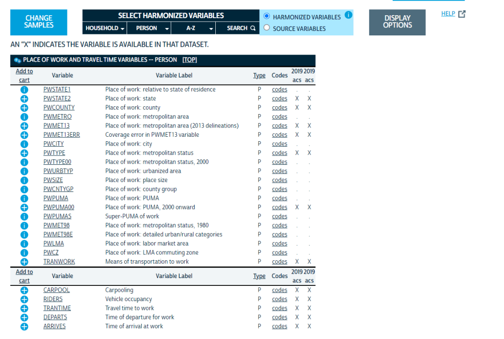
The catch is that to protect privacy you can’t see the block group or even census tract where these individuals are coming from or going to; instead, locations are grouped into Public Use Microdata Areas, or PUMAs. These are generally larger than census tracts but not much larger than small cities; they are required to contain at least 100,000 people. Still, this data can be very useful.
A site I like to use for microdata is IPUMS, which makes it available in formats that statistical software can read. If you want an Excel export, use the Census website. Using microdata samples, I was able to look at what time people living in our commuter rail corridor were leaving for work, comparing by race and income level. By matching this against when the train actually operates, we can see how well the train’s limited hours are serving different populations in the region.
Any data collected by the ACS is available in microdata, from whether a house has flush toilets to whether someone has a cognitive disability. Lots of researchers beyond transportation planning will find this useful.
If you’ve used this for your own work, I’d love to hear about it!
